 |
|
EL MIRADOR, GUATEMALA: CRADLE OF MAYA CIVILIZATION |
|||
Story and photos by Vicki Hoefling Andersen |
|||
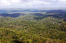
Considered by many scholars to be the Cradle of Maya civilization, the Mirador Basin shelters some of the largest and earliest urban centers in the Maya world. The 1.6-million-acre Basin is a self-contained ecosystem within the 5.3-million-acre Maya Biosphere Reserve, Central America’s largest protected region. Hemmed in by limestone ridges, the Mirador Basin shelters some 300 species of trees including ceiba, cedar, sapodilla and mahogany, 200 animal and 184 types of avian critters..
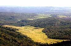
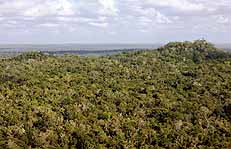
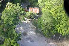
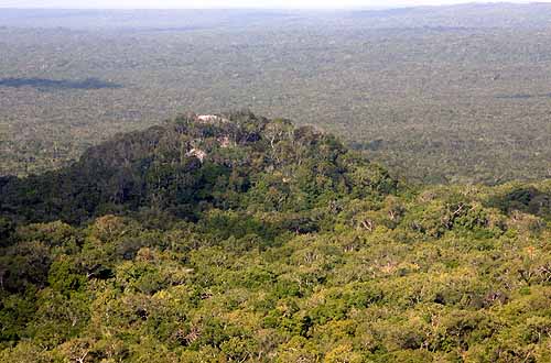
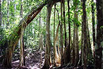
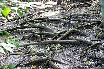
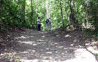
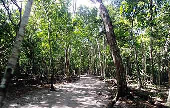
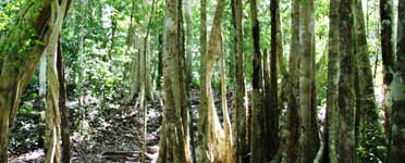
The dense forest (above left & top) hides nearly everything around you, yet on the ground there’s a backdrop resonance of the inhabitants: howler and spider monkeys, coatimundi, ocellated turkeys, curassow and toucans. Sadly, the entire region is threatened by massive deforestation and destruction from logging and road construction equipment (above right in 2020), which also opens the region to looting of as-yet undiscovered Maya cities. Of 26 known sites in the Mirador Basin, only 14 have been studied thus far with an estimated 30 more awaiting discovery, a number that increases with every new LiDAR scan (3D laser aerial image used in surveying and mapping).
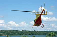
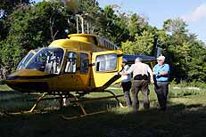
I would loved to have met the passenger who arrived shortly after we did: Richard Hansen, Director of the Mirador Basin Project, who was running a bit late for an important video conference from his two-story house in El Mirador’s Base Camp. Considered the world’s largest ancient Maya city, El Mirador boasts the most structures of any Maya site. Signs of settlement date to 1,000 BCE with the massive constructions beginning about 600 BCE. By this time the city dominated the Peten region, thriving as a trade center, seat of economic and political power, and a major ceremonial center that reached its zenith a half a millennium before Tikal.
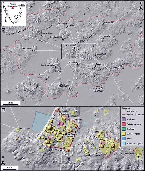
Spreading across more than 51 square miles with the primary urban center occupying about 14 of those, El Mirador’s count of structures runs in the thousands. Population is estimated to have been anywhere from 100,000 to possibly twice that number. The size and complexity of El Mirador astonished archaeologists who never imagined the early Maya had the skill and could marshal the workforce to create such a wonder. At least three dozen pyramids include 15 substantial examples built on a scale that overwhelms, plus numerous plazas. The pyramids are constructed atop tiered platforms with three pyramids on the highest level creating what is referred to as a triadic design. Two huge architectural complexes, Danta and Tigre, tower over the massive site. Renowned for the quantity and size of their raised causeways (sacbe, or sacbeob – plural), these not only linked important architectural groups within the city but some ran as far as 24 miles linking to other sites in the Basin. To tackle seasonal quagmires, sacbe were elevated as much as six feet, were 60 to 130 feet wide, and were deeply coated in white stucco to make the roadway easier to follow in the dark. The ancient Maya did not have wheeled carts or animals to pack their goods, so sacbeob were for foot travel. El Mirador was part of a vast and varied cultural system which shared food, objects, knowledge and expertise. Their trade network brought obsidian from Central Mexico, granite and marble from Belize, even by-products of the volcanic Highlands of Guatemala such as ash, hematite and obsidian. Coral and shells arrived from the Pacific Ocean, Gulf of Mexico and Caribbean Sea. The earliest use of the Kan or Snake Kingdom emblem glyph was found in El Mirador and other Mirador Basin sites, that were most likely under the control of El Mirador. The seat of power for the mighty Snake Kingdom would later transition to Calakmul. Just a few months prior to my first visit to El Mirador, I had stood atop Calakmul’s Structure II, straining to see the rumored outline of El Mirador’s El Tigre pyramid on the southwest horizon. Mirador Basin sites are known for their Codex-style of ceramics depicting stunning images of Maya history and mythology, resulting in one of the most skillful and creative traditions in the Maya world. But the city was suddenly abandoned around 150 CE, reoccupied about 500 years later, and finally abandoned for good around 900 CE. Skeletal remains were found with arrowheads penetrating the victims’ ribs, a good indication the end came suddenly and violently.
The main focus of the Tigre Complex is a massive platform more than 14 acres in size, nearly the size of three football fields, with several structures including the namesake El Tigre Pyramid (above). Rising 182 feet in five levels, it faces the sunrise with a smaller pyramid on each side, a triadic construction. The Central Acropolis adjoins the Tigre Complex and consists of numerous platforms and constructs. In the center is an aguada or water catchment system, where excavations uncovered another revelation created about 300 BCE: the oldest known Mayan retaining wall.
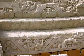
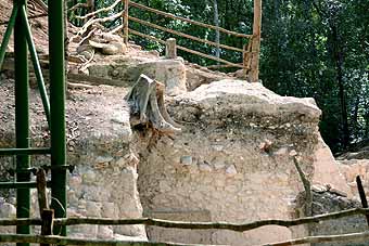
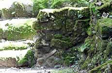
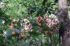
Beautifully carved into the stucco of the aquada wall (above left) are two 26-foot-long panels which depict the Hero Twins from Maya mythology. Detailed in the Popol Vuh of the Quiche Maya, written nearly two thousand years later, this portrayal is evidence their mythology and religion spanned the test of time. The Kan (Snake Kingdom) serpent head glyph appears lower on the wall. Across from the excavated panels is a yet-to-be uncovered retaining wall (above right).
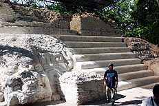
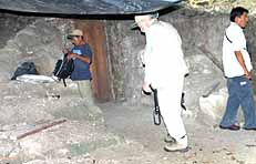
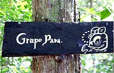
Jaguar masks flank the upper stairway of Structure 34 (above left), with restoration work on the building only recently begun as of 2007 and more excavation still ahead. A doorway leads to 2007’s newly discovered mask (above center). By 2020, Richard Hansen and a Boeing engineer had designed a polycarbonate roof (above right) to filter UV light and protect delicate stucco carvings from seasonal torrential rains. While most of El Mirador is still unexcavated, Structure 34, aka Jaguar Paw Temple, is one of the city’s most thoroughly scrutinized. Situated on the base level of El Tigre Pyramid, it is 262 feet long and 48 feet tall with a wide stairway leading to another triadic arrangement of structures. Panels of jaguar masks flank the set of stairs accessing a central temple whose potshards date it to 200 BCE, and encloses an earlier structure dating to 600 BCE. Archaeologists were stunned to find a mask inside with its original red paint still visible. The mask was a recent discovery when I visited in 2007. Accompanied by a worker, we were allowed to enter the excavated tunnel to see it, one visitor at a time with no cameras. It was an amazing opportunity. I was excited to see and hopefully photograph it in 2020, but the public is no longer allowed inside and I’ve never been able to track down an image or any mention of it in a research paper. You can see the wooden tunnel door in the center image above, and snuggled against the base of the stairway in the image on the right. The Los Monos Complex is named for the howler monkey and flanks the southern portion of the Tigre Complex. Nearly 417 feet wide by 525 feet long it includes a plaza, a collection of structures, and the site’s third-largest pyramid, the 138-foot tall Monos Pyramid.
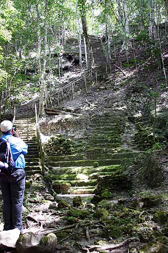
We skirted large nests of fire ants, glimpsed a few critters along the way, but mostly seemed to just trudge onward in the hot and heavy jungle air, slowly gaining elevation, navigating intermittent bursts of short inclines. I finally asked our guide how much farther before we’d reach Danta. He laughed and told me we had been climbing the lower platforms of the Complex for quite a while now!
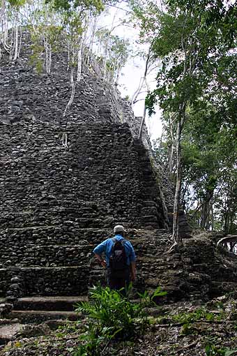
Facing the setting sun, the Danta Complex overlooks the city from a hilltop perch on the eastern boundary. By some estimates, it reportedly took as many as 15 million man-days to construct. Building began around 400 BCE; at least three more projects were later under construction until about 150 CE. This was a ceremonial complex; there were public plazas on each major level but scant signs of residential habitats. Buildings featured central stairways - some flanked by masks - and floors and masonry plastered and painted red. The rock and cut stone base platform is nearly 1,000 feet wide, over 2,000 feet long, 23 feet high, and covers nearly 45 acres or almost 36 football fields. It also serves as the base for a number of buildings including several large dwellings and two tall temples. This platform level has been overtaken by the jungle thus easily overlooked as part of a man-made structure.
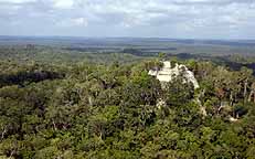
La Danta is an artificial mountain whose summit towers 236 feet above the jungle floor, making it the tallest triadic Mayan structure yet discovered and visible from the sky for nearly 60 miles. By volume and mass, La Danta’s nearly 99 million cubic feet make it one of the largest pyramids in the world; by comparison the Great Pyramid of Giza contains 92 million cubic feet.
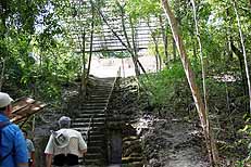
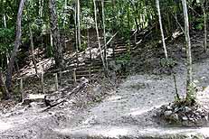
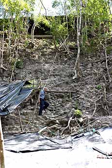
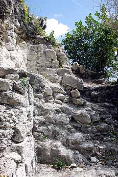
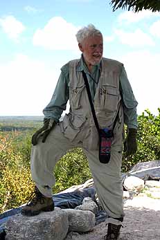
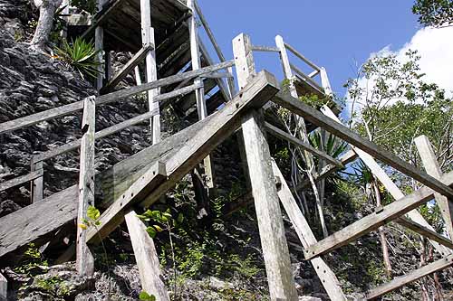
We ducked beneath tarps that shielded in-process archaeological excavations, and threaded our way nearly 80 feet upward to the third platform and base for the Pyramid itself. In 2007 the final approach was a perilous crawl at an 80 degree angle over a greatly deteriorated surface (above left), onto a final ascent with footholds that could challenge a monkey (above center). Jerry McDonald, a friend with whom I’ve travelled many miles and climbed countless structures in our years of exploring Mesoamerica, reaches the summit of La Danta in 2007 (above right; RIP my friend).
The Mirador Basin was first surveyed in 1885 by engineer Claudio Urrutia who noted the presence of grand ruins but this wasn’t officially reported until 1926. In 1929 Charles Lindbergh flew a Sikorsky S-38 flying boat over parts of Belize (British Honduras at the time), Mexico, and the Peten region of Guatemala, while from the passenger seat his wife Anne took some of the first aerial photographs of ancient Maya sites. In the Mirador Basin they observed massive green mounds towering through the forest canopy but dismissed them as forested volcanoes, never suspecting the largest of them was part of the massive La Danta pyramid.
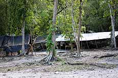
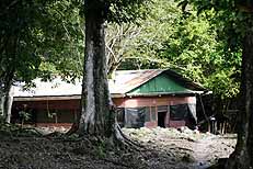
Satellite dishes installed in front of Richard Hansen’s house provide El Mirador’s only link to the outside world (above left). Work rooms at base camp (above center) are pretty basic: tables set up under tarps stretched over a network of poles. The worker’s quarters (above right) could almost be considered luxurious (pun intended), sitting deep in the nearly impregnable jungle and sporting plywood walls with screened windows, a metal roof and rain gutters. But your “business” still must be done outside, with the jaguars and ocelots and coatis and tapirs. It wasn’t until 1962 that the first map of the area was produced; in 1979 a group of archaeologists from Brigham Young University began to excavate El Mirador. Now under the direction of Richard Hansen, a Senior Scientist at Idaho State University and adjunct professor of anthropology at the University of Utah, hundreds of workers are busy during the dig season, roughly May to September, while scientists from more than 50 institutions help scrutinize the finds. I wish I could be around in another 50 years just to see what new discoveries and revelations the Mirador Basin uncovers…if it doesn’t get logged, plundered and burned before that can happen. ABOUT THE AUTHOR
|