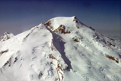
Mt. Baker
I’ve lived in the shadow of a steaming, threatening volcano for more than 40 years, so I know the drill, the preparation cautions, even the remote chaos and resulting ash fall from another nearby volcano that erupted nearby May 18, 1980.
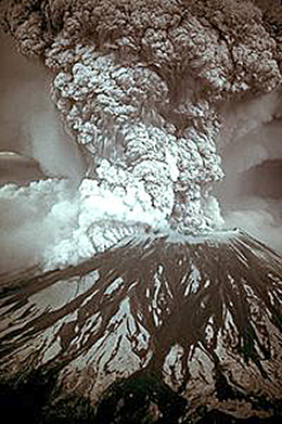
Mt. St. Helens
It was an early Sunday morning. My husband’s two young daughters were spending the weekend with us. A sudden, loud, rattling Ka-BOOM, woke me straight up as I lovingly groused about them jumping on their beds so early on a weekend morning. We were 275 miles north. Ash fall from that Mt. St. Helens eruption carried nearly 2,000 miles.
Bardarbunga
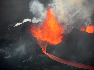
And now, in September of 2014, I was in Akureyri, Iceland, just north of a live erupting volcano that had been actively spewing fire, startling locals and scaring travelers for about a month. Bardarbunga is named after an early Icelandic settler, Gnúpa-Bárður that translates as Bardur’s bump. But right now, this volcano was certainly much more than a quiet bump. It was an active volcano belching fire.
A business in the right place at the right time
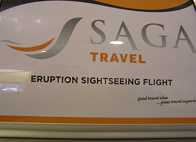
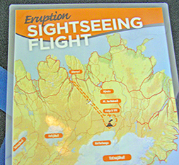
One of the best ways to see the magnitude of this eruption was from the air. Fortunately, just a few days before we arrived, Saga Travel www.sagatravel.is had begun making flights over the eruption available to the public. But air clearance was dicey as it depended on what the volcano was doing and how the winds were blowing. (And Icelandic wind gives new meaning to that word. I’ve heard that at times it causes people to crawl from their cars to buildings for shelter.)
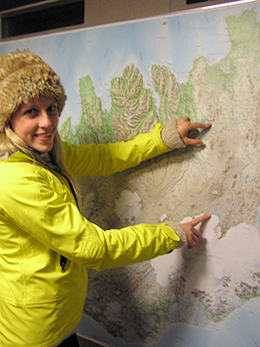
Measuring from Akureyri to Bardarbunga
Although we heard that there were a handful of research planes in the area and scientists on the ground near the eruption, the aviation risk was high. We had to wait for a window of air clearance.
 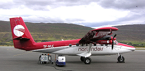
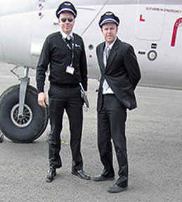 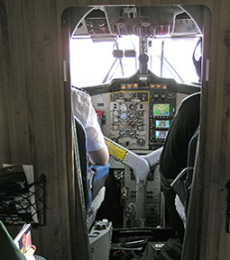 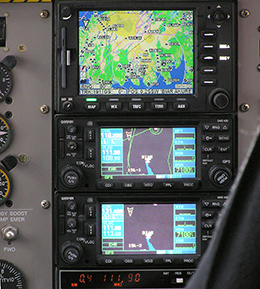
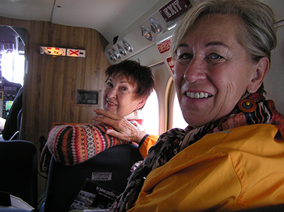
After a nervous and lengthy interlude at the local Akureyri airport with our pacing Saga Travel guides and veteran pilots, we finally got air clearance from the authorities to fly. “Please know that turbulence is a given. Let’s go. NOW. We’re cleared for take off. Now we GO. NOW.” We all gathered our cameras and courage and boarded the elegant aircraft.
Video of Bargarbunda eruption from the air. Look for the research plane below.
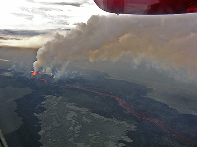
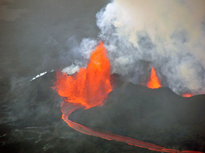
After 20 minutes of flying over farmland, countryside and the vast Holuhraun lava fields, there it was in the distance. Bardarbunga spewing 2500 degree Fahrenheit hot, liquid rock 100s of feet into the atmosphere, belching out sulfur dioxide and fluorine with the magma. We could see brilliant orange fire, huge plumes all in a row with rivers of orange molten hot lava flowing and cooling into grey streams and rivulets nearly 13 miles long. We were staring right down the angry, boiling, fiery throat of the earth. It was enough to make all of us realize how minute a part we play in this enormous universe ruled by nature.
IF YOU GO
For more information on Saga Travel flightseeing tours, visit their website www.sagatravel.is. In addition to particulars about the hour and a half eruption tour above, you’ll find prices and details about other tours all over Iceland. For overall island travel information, visit the main Iceland travel site www.icelandtravel.is.
|